Oxford University Press
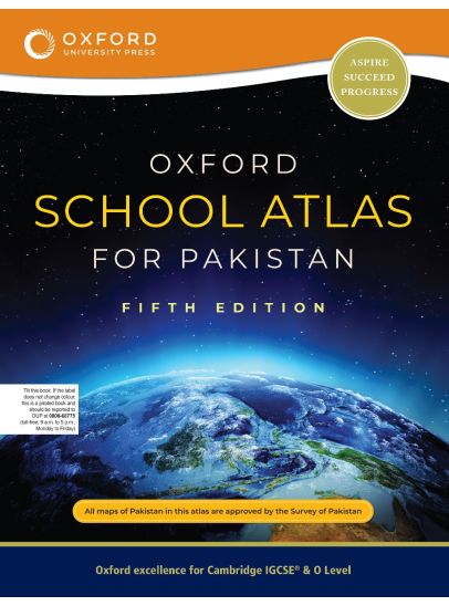
Oxford School Atlas for Pakistan
Oxford School Atlas for Pakistan
Couldn't load pickup availability
Oxford School Atlas for Pakistan, Fifth Edition, is completely aligned with the new political map of Pakistan. The political and thematic maps have been updated according to recent official statistics using GIS technology, offering the latest in geographic reference material.
Key Features: Physical, political, and thematic maps of Pakistan and the world; maps based on tourism, telecommunications, environment, and socio-economic data; map of world time zones; integrated with Oxford AQA International GCSE Geography, Oxford AQA AS and A Level Geography, and Cambridge GCSE O Level Geography and Environmental Management; a comprehensive gazetteer with over 10,000 entries.
Readership: Ages 11 years and above (secondary, higher secondary, and tertiary levels) | Binding: Paperback
Share